The Future of Precision Agriculture with Biodiversity Insights
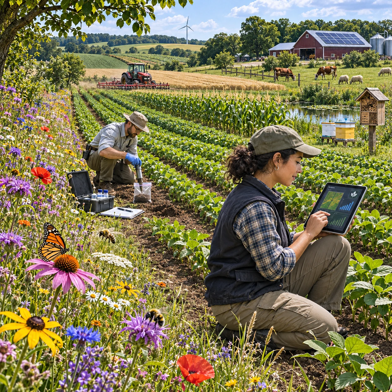
Precision agriculture helps growers manage variability across fields by using location-specific information about crops, soils, and weather. The next step is to include the living systems that support production: pollinators, beneficial insects, soil organisms, and the habitats that sustain them. Biodiversity monitoring can help turn those ecological observations into practical context for farm decisions.
This shift does not mean treating every farm as a conservation reserve or assuming that more species automatically produce higher yields. It means adding reliable species and habitat data to the evidence growers already use, then testing whether a change in management improves both farm performance and ecological conditions.
From crop optimization to ecosystem-aware farming
Ecosystem-aware precision agriculture combines crop, soil, and field-management data with observations of biodiversity and habitat. This broader view helps growers consider how farm operations affect the ecological processes occurring alongside crop production.
Conventional precision agriculture often maps differences in yield, soil moisture, nutrient status, or pest pressure. Biodiversity monitoring adds another layer: where species occur, when they are active, and whether the farm provides suitable habitat. Those details can help explain why a field edge, drainage area, or crop block behaves differently from the rest of the farm.
For example, a grower might compare pollinator activity near a flowering margin with observations from crop interiors during bloom. The comparison could inform habitat placement or mowing schedules, but it would not prove that the margin caused a yield change. Weather, crop variety, pesticide exposure, and surrounding land use may also affect the outcome.
The goal is therefore better-informed decisions, not a universal prescription. Biodiversity data can reveal trade-offs and opportunities that crop-only maps miss, while agronomic measurements remain essential for evaluating production outcomes.
What biodiversity data can reveal on farms
Biodiversity data can show which species and habitats are present, how their patterns change over time, and where ecological functions may be supported or under pressure. On farms, useful observations include pollinators, beneficial insects, vegetation, birds, and soil life.
Species and habitat data provide a baseline for understanding the farm ecosystem. Records might include the location and condition of hedgerows, field margins, ponds, cover crops, and other semi-natural features, alongside observations of selected species. Repeated surveys can reveal seasonal patterns or changes after management adjustments.
Pollinators and other beneficial insects can offer clues about flowering resources, nesting habitat, and activity during key crop stages. However, counts vary with temperature, wind, time of day, and survey technique. A single low count should not be treated as proof that a habitat is failing.
Soil biodiversity is harder to observe directly but matters to ecosystem condition. Earthworms, soil fauna, microbial communities, and their activity can be assessed using different sampling and laboratory methods. These measures do not all answer the same question: a microbial DNA profile, for instance, indicates detected organisms, not necessarily the rate of a specific soil process.
Read together with soil structure, organic matter, crop health, and management records, ecological observations can help identify patterns worth investigating. They are indicators and evidence, not a complete diagnosis on their own.
Monitoring technologies and methods
Farm biodiversity monitoring works best when it combines field surveys, sensors, and remote sensing suited to the question. No single method can reliably capture every species, habitat feature, and ecological process.
Field surveys and targeted sampling
Direct surveys remain valuable for identifying species and checking habitat condition. Trained observers can conduct timed pollinator counts, vegetation surveys, bird observations, or soil sampling at consistent locations. Standardized timing and protocols make results easier to compare across fields and seasons.
Some approaches, such as camera traps, acoustic recorders, and environmental DNA sampling, can extend observation in particular settings. Each has limits: sound recordings may miss silent species, cameras detect only animals within their view, and DNA detection does not always show whether an organism is abundant or actively using a site.
Sensors and remote sensing
Field sensors can record conditions such as soil moisture, temperature, and microclimate that affect crops and organisms. Remote sensing from satellites, aircraft, or drones can map vegetation cover, landscape features, and seasonal change across larger areas. These tools can help target field visits, but imagery generally cannot identify all species or confirm ecological function.
A practical monitoring design matches the method to the decision: use imagery to locate habitat change, field surveys to verify what is there, and sensors to track relevant conditions over time. Keep sampling locations, dates, and methods consistent where possible. That discipline is often more useful than collecting a large volume of incompatible data.
Turning ecological observations into farm decisions
Biodiversity insights inform farm decisions when observations connect to a specific management question and are checked against production data. They can guide habitat management, input practices, and the timing of field operations.
Consider a grower deciding when to cut a field margin. Vegetation surveys and pollinator observations may show whether flowering resources are still being used. The grower can compare that evidence with weed risk, access needs, and the next operation, then adjust timing or leave selected sections uncut. The appropriate choice depends on local conditions and the crop system.
Ecological data may also support more targeted pest management. Monitoring beneficial insects alongside pest counts could help assess whether natural enemies are present in a field. It should inform scouting and integrated pest management, not replace pest thresholds or expert advice. A low observation count may reflect sampling conditions rather than a genuine absence.
Habitat maps can help identify places for cover crops, flowering strips, hedgerows, or buffer areas. Combining these maps with machinery routes, soil conditions, and crop plans can make interventions easier to manage. The key is to define a measurable question before acting, such as whether a change increases flowering continuity or reduces disturbance during a sensitive period.
Benefits and trade-offs for growers
Biodiversity monitoring can help growers understand ecological conditions, target habitat improvements, and document changes over time. Its value depends on data quality, cost, and whether the information leads to a practical decision.
When species and habitat observations are linked with yield maps, soil tests, input records, and weather data, growers can examine relationships that would otherwise remain hidden. This may improve planning for field margins, pollinator resources, or scouting. It does not guarantee higher yields, lower input costs, or a particular environmental outcome.
There are real constraints. Field surveys take time, specialist identification can be expensive, and remote-sensing products may require technical interpretation. Results may also be difficult to compare if teams use different sampling dates or protocols. In some cases, a simple, repeated survey is more useful than an elaborate system that cannot be maintained.
Data quality and interpretation deserve as much attention as technology selection. Growers should record how, where, and when observations were collected and note relevant conditions. They should also avoid treating correlation as causation: a field with more pollinators may differ from another in crop, weather, or surrounding habitat.
A sensible starting point is to choose one management question, establish a baseline, and use a small set of repeatable measures. Expand monitoring only when the results can guide a decision or meet a clear reporting need.
Building a more connected future
The future of precision agriculture will depend in part on connecting biodiversity observations with crop, soil, and operational data in ways that growers can interpret and act on. Adaptive farm management can use those combined records to test changes and revise practices as conditions evolve.
Useful integration requires more than putting every dataset on one dashboard. Data need clear location and time references, consistent units, documented collection methods, and appropriate privacy controls. A pollinator count from one afternoon, for example, should not be compared directly with a season-long automated record without accounting for the difference in sampling effort.
A practical cycle is: observe, interpret, act, and reassess. First, establish a baseline for a selected species group or habitat feature. Next, compare it with crop and field conditions. Make a limited management adjustment, then repeat the observations using the same method. This makes it easier to distinguish a meaningful change from ordinary seasonal variation.
Ecologists, agronomists, growers, and technology providers all have a role. Technology can expand the scale and frequency of monitoring, while ecological expertise helps determine what the measurements mean. The strongest systems will preserve that distinction and give farmers usable evidence rather than false certainty.
As biodiversity monitoring becomes more connected to precision agriculture, the opportunity is a fuller picture of farm performance: one that accounts for crops and inputs as well as the habitats and species embedded in working landscapes. Progress will come from careful measurement, locally appropriate decisions, and honest evaluation of results.