How Technology Helps Track Endangered Species in Real-Time
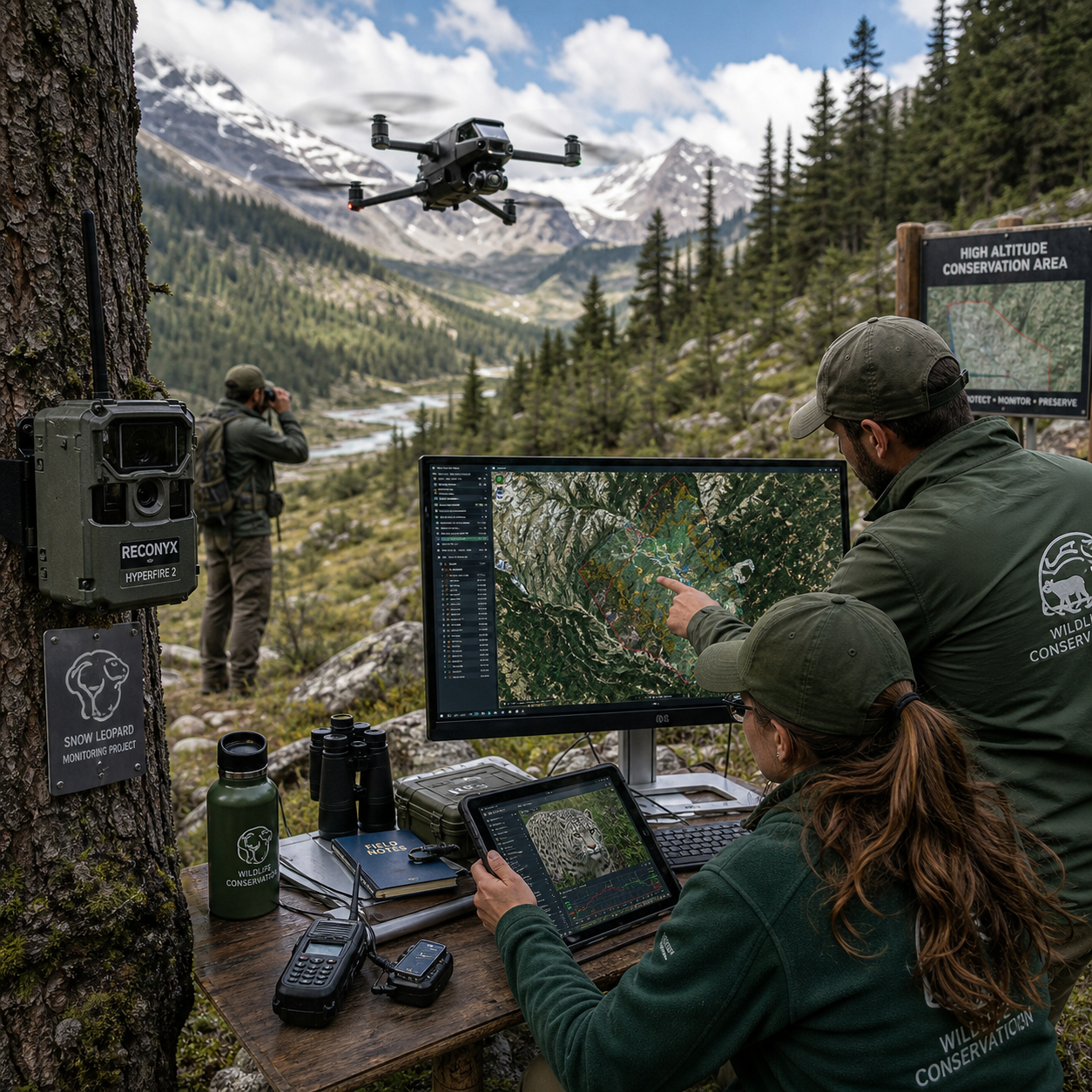
Technology helps track endangered species in real time by combining location tags, remote cameras, aerial surveys, environmental sensors, and data analysis platforms. These tools give conservation teams faster information about where animals are, how they behave, and which threats require attention.
Real-time monitoring does not mean every signal arrives instantly. In wildlife conservation, real-time usually means information is available quickly enough to support action, while near-real-time data may arrive after minutes or hours. Periodic monitoring, such as a monthly survey, remains useful for long-term trends but cannot support the same rapid response.
Why Real-Time Wildlife Tracking Matters
Real-time wildlife tracking matters because timely information helps researchers detect danger, understand movement, and direct limited conservation resources. A location update can reveal that an animal has left protected habitat, entered a road corridor, or stopped moving in an unusual way.
Researchers use movement data to study migration routes, breeding areas, feeding grounds, territorial behavior, and responses to drought or wildfire. Repeated observations also show whether a protected area is large enough and whether animals can move safely between fragmented habitats.
Fast information can improve field decisions. A conservation team may investigate an unexpected stationary signal, check a camera near a known crossing, or send wildlife rangers to inspect a boundary. Tracking data can also support habitat restoration by showing which corridors animals actually use rather than relying only on maps or assumptions.
The key principle is the connection between signal, interpretation, and response. A sensor alone does not protect an animal. Its value depends on reliable data, trained people, clear protocols, and conservation policies that turn evidence into action.
GPS, Satellite, and Radio Tracking Devices
GPS and satellite tags estimate an animal’s position, while radio telemetry helps teams locate a transmitter using radio signals. Each system supports different monitoring needs, depending on the species, habitat, budget, tag size, and required reporting speed.
GPS and satellite tags
A GPS tag receives signals from navigation satellites and calculates a position. The tag may store coordinates and transmit them through a cellular network or satellite communication system. Satellite tags are especially useful where mobile coverage is weak, including remote forests, deserts, oceans, and polar regions.
Some devices report frequently; others conserve battery by recording locations at longer intervals. A high reporting rate can show detailed movement but usually increases energy use and may require a larger device. Choosing more frequent updates means accepting shorter battery life, greater weight, or higher maintenance needs.
Radio telemetry
Radio telemetry uses a transmitter attached to an animal and a receiver operated by researchers or mounted on aircraft and vehicles. A team can follow the signal to estimate the animal’s direction and location, even when GPS transmission is unavailable.
Radio telemetry often requires field visits and skilled observers, so it may be less continuous than satellite tracking. Its advantage is flexibility and relatively simple signal detection in environments where satellite or cellular connections fail. Combining radio telemetry with GPS can provide backup information when one system stops working.
Before deployment, specialists assess tag weight, attachment method, species behavior, expected lifespan, and recovery plans. The device must answer a conservation question without creating an unreasonable burden for the animal.
Camera Traps, Drones, and Remote Sensors
Camera traps, drones, and remote sensors monitor wildlife without requiring people to remain close to animals. They are particularly valuable in dense forests, rugged terrain, protected areas, and locations that may be unsafe for field teams.
Camera traps use motion or heat sensors to trigger photographs and video. They can document presence, absence, activity times, group size, and interactions with predators or competitors. Images may also reveal individual markings, allowing researchers to identify animals without capturing them.
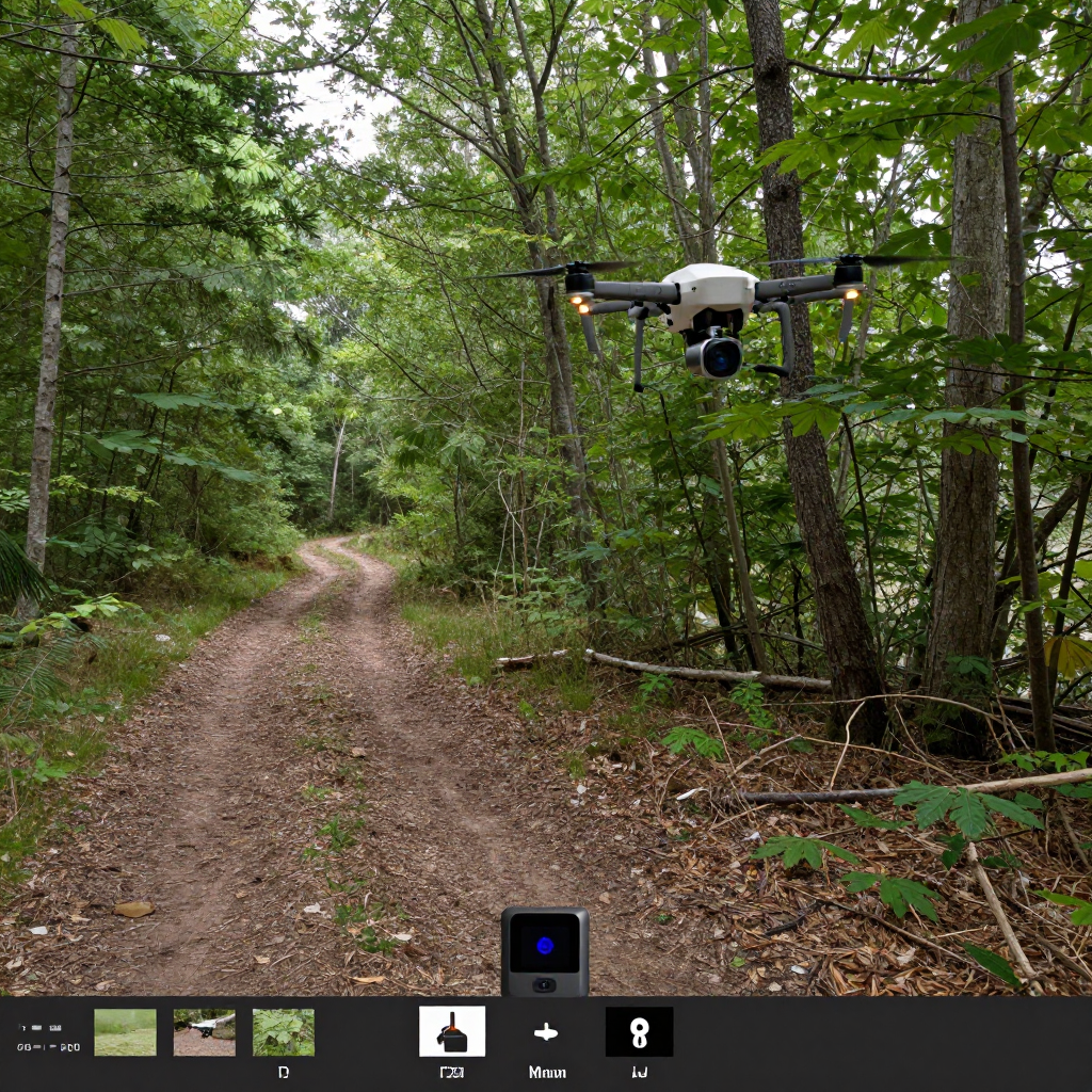
Drones and aerial imaging provide a wider view. Thermal cameras can help locate animals in suitable conditions, while high-resolution imagery can document nesting sites, vegetation loss, fires, roads, and illegal activity. Drone flights reduce the need for repeated ground patrols, but they require trained operators and must be managed carefully around sensitive species.
Remote sensor networks add environmental context. Acoustic sensors can record calls, seismic sensors can detect movement, and water-quality or weather stations can measure conditions that influence wildlife behavior. A sensor that shows declining water levels becomes more useful when linked to animal locations and movement changes.
These tools are complementary. A camera trap may confirm identity, a GPS tag may show the animal’s route, and a drone may reveal a damaged habitat. No single device provides a complete picture.
How AI, GIS, and Data Platforms Turn Signals Into Action
Artificial intelligence, machine learning, and Geographic Information Systems turn large volumes of wildlife data into patterns that conservation teams can understand and use. Automated systems can sort images, identify species, flag unusual movement, and display risk areas on shared maps.
Camera traps may produce thousands of images. Machine learning models can help classify animals, remove empty frames, and prioritize images for human review. Acoustic tools can similarly search recordings for species calls. These systems save time, but errors remain possible, especially with rare species, poor lighting, camouflage, or unfamiliar habitats.
GIS connects location data with roads, rivers, land ownership, vegetation, fire boundaries, patrol routes, and protected-area borders. A map may show that several animals repeatedly cross a road or that a migration route overlaps with recent forest clearing. Conservation planners can then compare options for wildlife crossings, habitat restoration, patrol coverage, or land-use regulation.
Data platforms and dashboards make information available to researchers, wildlife rangers, conservation teams, and authorities. Good systems include timestamps, confidence levels, data quality notes, and alerts that explain why an event matters. A map filled with unverified warnings can overwhelm staff, so alert rules should be tested against normal seasonal behavior.
Applications in Anti-Poaching and Habitat Protection
Real-time tracking supports anti-poaching by helping teams identify unusual movement, intrusion risk, and areas that need a rapid field response. It can also guide habitat protection by revealing migration corridors, ecological bottlenecks, and changes in landscape conditions.
For example, a sudden stop in a tag signal may trigger verification rather than an automatic conclusion. Rangers can check whether the animal entered a signal shadow, whether the tag failed, or whether the location requires investigation. Camera traps and acoustic sensors can strengthen the assessment by showing people, vehicles, gunshots, or other activity nearby.
Protected-area managers use GIS to compare animal movements with patrol routes and known access points. They may adjust patrol timing, place cameras near crossings, or coordinate with neighboring jurisdictions when animals move beyond park boundaries. This is especially important for migratory species that cannot be protected by one reserve alone.
Habitat monitoring adds another layer. Satellite monitoring can detect vegetation change, new roads, water loss, and fires across large regions. When combined with GPS locations, it can show whether habitat degradation is pushing animals into farms, settlements, or dangerous transport corridors.
Technology improves the speed and quality of decisions, but it cannot guarantee that poaching will stop. Effective protection still depends on trained wildlife rangers, local communities, enforcement authority, funding, and fair conservation policy.
Challenges and Ethical Considerations
Wildlife tracking technology has limits involving accuracy, connectivity, cost, animal welfare, and data security. Responsible monitoring treats these constraints as part of project design rather than problems to hide after deployment.
- Connectivity gaps: Mountains, forest canopies, weather, and remote locations can delay or block transmissions.
- Device limitations: Batteries expire, tags can detach, and sensors may produce inaccurate positions or incomplete records.
- Cost and maintenance: Tags, satellite subscriptions, aircraft, software, and field repairs can exceed the budget of smaller conservation programs.
- Animal welfare: Capture, handling, anesthesia, and attachment must follow veterinary guidance and species-specific protocols.
- Data security: Exact locations of rhinos, nesting birds, great apes, or other vulnerable animals could be misused by poachers or illegal collectors.
Teams should collect only the information needed for a defined conservation purpose, restrict access to sensitive coordinates, and share public maps at a safer resolution or time delay. Community knowledge also deserves respect. Conservation teams should explain how data will be used and include local experts in decisions about monitoring and access.
A common mistake is treating an automated alert as proof. The correction is simple: verify important events through another sensor, field observation, or contextual data before taking high-impact action.
The Future of Real-Time Endangered Species Monitoring
The future of endangered species monitoring will combine smaller sensors, stronger connectivity, better analytics, and closer collaboration among researchers, communities, and authorities. Progress will matter most when it makes conservation decisions more timely, trustworthy, and inclusive.
New sensor networks may combine animal tags with acoustic, weather, water, and vegetation measurements. Improved satellite monitoring and low-power communication could make remote areas easier to observe. AI systems may become better at recognizing individuals and detecting changes while keeping human reviewers responsible for final interpretation.
Conservation programs are also likely to use shared data standards so that GPS records, camera images, GIS layers, and ranger reports can work together. That interoperability reduces isolated projects and helps agencies coordinate across protected-area boundaries.
The strongest model is a practical cycle: measure, interpret, verify, respond, and learn. Technology supplies measurements. People provide ecological knowledge, ethical judgment, and accountability. When those elements work together, real-time monitoring becomes a foundation for stronger biodiversity monitoring rather than a substitute for conservation itself.
Frequently Asked Questions
How does GPS tracking work for endangered animals?
A GPS tag receives navigation signals, calculates the animal’s position, and stores or transmits coordinates through cellular or satellite networks. Reporting frequency depends on battery capacity, device design, habitat, and research goals.
What technologies are used to monitor wildlife remotely?
Common tools include GPS and satellite tags, radio telemetry, camera traps, drones, satellite monitoring, acoustic and environmental sensor networks, AI image recognition, and GIS mapping platforms.
Can real-time tracking prevent poaching?
Real-time tracking can improve alerts, patrol planning, and response speed, but it cannot prevent poaching by itself. Protection also requires wildlife rangers, secure data systems, enforcement, community cooperation, and sustained funding.
Is tracking safe for endangered species?
Tracking can be safe when trained specialists use appropriate devices, attachment methods, veterinary oversight, and welfare protocols. Capture and handling still create risks that must be assessed for each species and project.
What are the main limitations of wildlife tracking technology?
The main limitations are cost, battery life, connectivity gaps, imperfect accuracy, equipment failure, difficult maintenance, and the risk that sensitive location data could expose animals to harm.